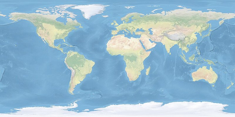
A mental map is a person’s internalized representation of places and spatial relationships — from a familiar neighborhood layout to a rough picture of continents and oceans. It mixes objective geographic knowledge with subjective impressions, estimates of size and distance, and attitudes about places.
People use mental maps to organize, recall, and navigate the world, and those maps change as experience, teaching, and media add detail. National Geographic’s Geography Standard 2 describes mental maps as ever-changing summaries of spatial knowledge that help answer geographic questions about where things are and how places connect.
Source: National Geographic Education — Geography Standard 2 (mental maps)